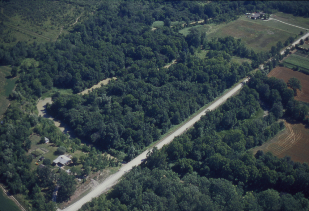
Help us out find out where this photo is geographically located!
This is what we know about the photos:
- It is part of the Lou Wise Oblique Airphoto Collection
- The title is “Bear Creek Woodlot“, photo number: ASC20247.
- It was taken in August 1990
- There are 20 photos in the set
- There are several “Bear Creeks” in Southern Ontario, so are official creek names, and some may be unofficial names for a local creek
- There are a lot of meanders in the creek
After a quick search online, we have a several possible leads / clues:
- Bear Creek Golf Club and Bear Creek Secondary School in Barrie
- Bear Creek Golf and Country Club in Strathroy, Ontario
- Bear Creek Cemetery near Brigden, Ontario (Lambton County)
- Bear Creek watershed from Warwick Ontario to Petrolia.
- There may be other Bear Creeks we have yet to discover, but it is a start!
Please help us out. If you find a match, let us know in the comments section below. You may have to browse imagery on online map websites such as Google Maps, OpenStreetMap, Bing Maps etc. Any information will help, such as the nearest highway intersection or town…but if you provide a latitude/longitude, even better!
Update (April 23, 2012): Kudos to Chris Durand from the St. Clair Region Conservation Authority for helping us out with the photos.


The address pf the house in the photo is 1616 Bickford Line, Lambton County.
UTM NAD 83
X: 390198.77
Y: 4735566.43
sorry, that is for photo Photo ASC20247
The Woodlot to the east is owned by the St. Clair Conservation Authority (McKeough Property # 137).
Photo ASC20250
Woodlot on lands owned by the St. Clair Region Conservation Authority (McKeough Property #142)
UTM NAD 83
X:390481.88
Y: 4736413.63
Photo ASC20260
Woodlot on lands owned by the St. Clair Region Conservation Authority (McKeough Property #142)
UTM NAD 83
X:390481.88
Y: 4736413.63
Photo ASC20244
Property on South side of Bickford Line west of Waubuno Rd across from 1616 Bickford Line
UTM NAD 83
X: 390444.15
Y: 4735340.63
Photo ASC20253
Looking west towards 2429 Kimball Road
Midway between Oil Springs Line and Bickford Line
UTM NAD 83
x: 389582.56
y: 4737024.49