General reflection on all platforms
Here are a few rambling and nebulous conclusions based on our preliminary investigation into these platforms, which we will update as our research becomes more comprehensive
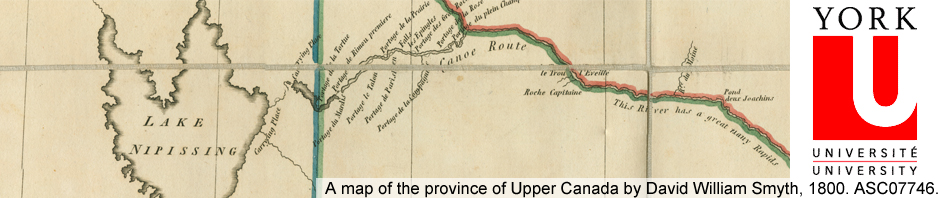
Context, context, context
The nature of the digital object and your objectives for display have a greater impact on deciding what platform will work best. Original format of the content doesn’t really matter in many cases once you digitize that content.
Don’t waste your time waiting for the perfect solution
There is no “one-solution-rules-them-all.” You have to be prepared to use a patchwork of solutions that can be normalized through your existing infrastructure and made seamless through your institutional presence.
Don’t expect your digital repository to be an exhibit space, don’t expect popular tools to behave like structured repositories
Many of the applications we’ve looked at are appealing and populist in their outlook, so they’re not necessarily going to have rigorous metadata standards. That said, all had enough of a descriptive structure that allows institutions to manage important metadata that can point back to institutional repositories where all the rich metadata and contextual information can be maintained.
Just doing the bare minimum can promote accessibility and feedback
The mere act of embedding a digital object into a landscape provides us with a familiarity that encourages discussion, feedback, use and improves accessibility.
Fighting cartophobia, one embedded aerial photograph at a time
These kinds of projects can undermine barriers to use of cartographic material. Sometimes patrons are afraid to use map because of a perceived lack of elite skills. These online projects remove the stigma of engaging with unfamiliar formats and helps improve map literacy.
Cultivating Engaged, Reflective and Critical Audiences
Embedded and map historical photographs viscerally illustrate our impact on the landscape, and the landscape’s impact on our lived experience and current circumstances. These projects demonstrate to a public audience how maps, data, photographic images are intertwined information formats with a historical context that that can be manipulated, interrogated and repurposed for new objectives. The important thing to ensure is that the original context is still preserved and accessible (or at least linked) in the new display platform.
Not everything lends itself to geo-location, some things are not worth the time and trouble
There are going to be some collections, some archival objects, some resources that are not going to be appropriate for this treatment. Some images are going to require additional research (through city directories, newspaper databases like Pages From The Past, fire insurance maps etc.) to situate them accurately in their context.
Question your tools, be open about your choices
Be wary of, and educate yourself about the tools and services you’re using. Google Maps is not always a fool-proof and accurate rendering of reality, and itself is a historical object that will change over time and not necessarily reflect historical contexts. Addresses, city boundaries, street names may shift and get re-calibrarted over time. Develop a short hand to alert users to instances where you have provided an estimated guess or general location.
Quality metadata should be your pride and joy
Your project is only as good as your metadata. Poor quality and inconsistency in standards can really gum up the works… and require tedious corrections and revisions.
When there’s a spreadsheet, you know we mean business
Below is a more systematic comparison of all platforms based on more qualitative observations and values. It will be populated and updated as needed.