Example: Bank Robberies in Toronto from the Toronto Telegram Photo Collection
The Clara Thomas Archives and Special Collections has an extensive collection of stock photos from the the Toronto Telegram newspaper. Some of the photos can be attributed to a specific location, as in the case of bank robberies. Below is an example of how a photo appears in YorkSpace, York University’s digital repository.
To start data must be organized in a table. To make our digital objects “mappable”, we determined the the intersection or street address of each photo by using the photo descriptions or historical street and city directories, such as the Might Toronto City Directories. In the table below, we included additional fields that would be useful to the viewer: collection name, collection description, hyperlink to the image on our server, hyperlink to the metadata record on our server and other relevant fields.
Google Fusion: Embedded Map – Mapping By Address
When the table is ready, it is possible to map by address/intersection the results. The user can interact with the map by clicking on the place markers. What appears is a description of the photo, basic details about the collection, a thumbnail image of the photo or document, and a hyperlink to the metadata record in Yorkspace. In Google Fusion Tables, it is possible customize the description box, the dimensions of the map window, and the placemarkers.
Google Fusion: Cards
An interesting component of Google Fusion Tables is the ability to view “cards” which is akin to the a metadata record or a card catalog entry. Below is an example of how the metadata looks like in the card format.
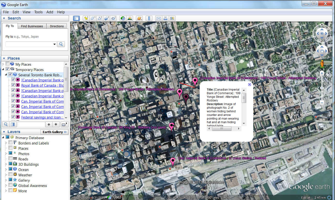
Viewing Your Collection in Google Earth
It is possible to export your mapped data so that it can be viewed and manipulated in Google Earth. This is a fun way for the user to explore the data in an more interactive environment. To do this, it is necessary to have Google Earth installed on the computer. In Google Fusion Tables, it is possible to export the data in KML format and open the KML file in Google Earth.
Features | Step by Step | Evaluation | Getting Started


